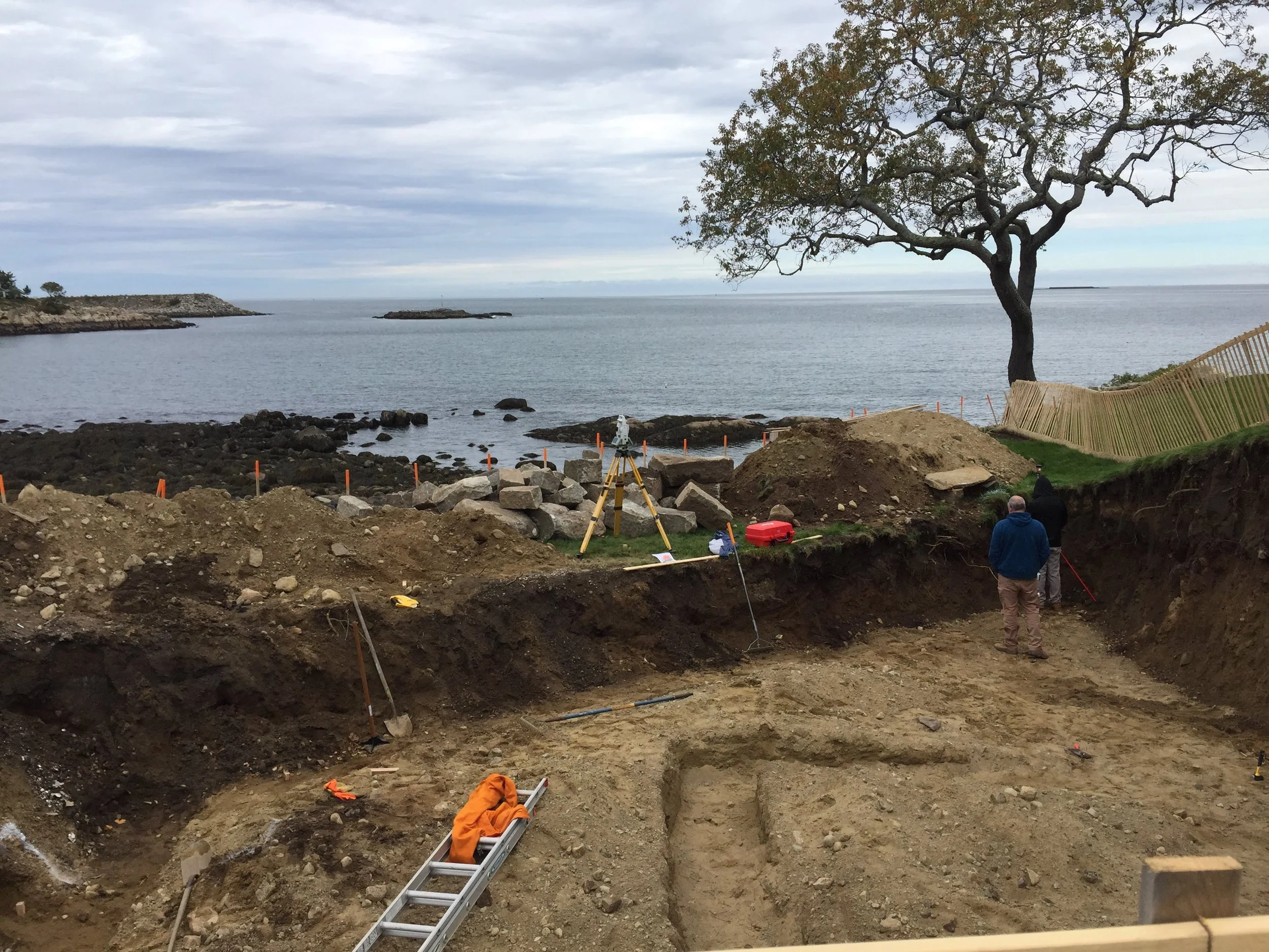
Certified Plot Plans are required by local Building Inspectors prior to the issuance of a Building Permit. To prepare a Certified Plot Plan, an instrument survey is required. The instrument survey is a retracement survey, which means that the survey must retrace the steps of the original land surveyor to ascertain the limits of the property. Requirements of a retracement survey are detailed in 250 CMR 6.01, which are briefly described below;
Research and Investigation: Obtain a legal description of property and abutting properties and copies of recorded documents affecting the survey. Obtain from utility companies, public offices and Land Court copies of available plans, documents and field notes affecting the survey. Obtain from known private sources available copies of data affecting the survey. Obtain copies of the applicable zoning by-laws that govern in the area in which the property is located.
Field Investigation: Search and locate physical monuments and weigh their reliability. Make sufficient measurements to correlate all found evidence.
Computations, Conclusions and Plan: Compute and compare field information with record data and investigate any disagreements. Make interpretation of location in accordance with law and/or precedent, and finalize the retracement of the property lines.
Local officials may have additional requirements for plot plans. This type of survey service is primarily performed in accordance with 250 CMR 6.01 for retracement survey and 250 CMR 6.02 when topographic features are required
A retracement survey is performed when it is necessary to re-establish property corners and/or lines. In most cases, this work is requested before a fence is installed or during pre-planning of subdivisions. In some instances, the retracement survey will be required to settle a property line dispute.
A topographic survey is performed when it is necessary to establish vertical control over an area for pre-planning of construction projects and surface re-grading. Vertical control is also used to delineate the limits of flooding and for the purpose of engineering design for drainage, sewerage or private septic systems. Requirements of a topographic or data accumulation survey are detailed in 250 CMR 6.02;
Research and Investigation: Determine the purpose of the survey and obtain pertinent maps and descriptions of the area to be surveyed. Obtain vertical and horizontal datum upon which the work will be based. For lesser involved projects, an assumed datum could be established.
Field Investigation: Search, locate and verify the location and identification of physical monuments, and weigh their reliability. Make sufficient measurements to correlate all found evidence to the referenced elevation.
Computations, Conclusions and Install Monuments: Compute and compare field information with record data and verify computations. Prepare an appropriate format to present findings.
An American Land Title Association/National Society of Professional Surveyors (ALTA/ NSPS) Survey formerly known as an ALTA/ACSM survey (for the American Congress of Surveying and Mapping) is performed when private title insurance is obtained for a property. This work is sometimes completed in anticipation of a real estate transaction. To clear a title and register land with the Massachusetts Land Court, the survey must be performed in accordance with the Commonwealth of Massachusetts Land Court 2006 Manual of Instructions. Upon completion of the survey, the plaintiff submits the complaint, the plan, other required information, and a filing fee to the Land Court for review and judgment. The title is examined and citations are publicized. Based on comments, questions or other arguments, the case is reviewed or tried in the Land Court prior to Registration.
Horizontal and/or vertical survey control is required for almost all construction projects. In general, construction plans are prepared based on vertical and horizontal control points established at the perimeter of the project area. Requirements of construction layout survey are detailed in 250 CMR 6.03 and some are described below;
Research and Investigation: Obtain from the client the approved specifications and plans setting forth the project for which the layout survey is to be conducted. Obtain from known private and public sources available copies of data affecting the project. Determine appropriate number of control points to be established and the relationship of said control points to construction lines, grades and offset grades.
Analysis of Research and Preliminary Conclusions: Examine thoroughly and analyze data. Test consistency of data and bring any observed inconsistencies to the attention of the client. Form the preliminary conclusions. Plan the procedure for performing the construction layout.
Field Investigation and Layout Survey: Search for and verify monuments, lines or objects indicated by the construction documents as the intended references for the projects horizontal and vertical datum. When appropriate, establish, adjust and monument control points and lines necessary as intermediate to the final layout surveys. Establish final layout control monuments in proper relationship to construction lines and grades. Take sufficient check measurements to verify the work satisfactorily. Record all information in an appropriate field note form. Immediately bring to the attention of the client any inconsistencies disclosed by the survey or by examination of the plans.
Computations, Conclusions and Publication of Results: Make necessary computations to verify the correctness of measurements. In the event of the discovery of any inconsistencies or disagreements with the work of others, notify the client in writing of the specific inconsistency or disagreement and the authorized corrective measures that were taken, if any. If requested, prepare a plan or appropriate report showing the results of the survey. Retain all records that may be used to substantiate conclusions reached in an indexed file.
Vineyard survey and environmental personnel are cross trained to provide both survey and environmental consulting expertise. Accordingly, all company field personnel are OSHA trained and capable of working on environmentally impaired construction sites. Vineyard adds value to any development team.
In most instances, Massachusetts Contingency Plan (MCP) sites require OSHA trained personnel including land surveyors, Vineyard can provide the service that will allow clients and LSPs to maintain compliance with the MCP with little to no increased cost. Whether it is a Site Plan for a Notice of AUL or survey control for sample grids or excavation documentation, costs incurred by Vineyard personnel will usually be less than those incurred by the prime consultant. Vineyard uses modern survey instruments that are professionally maintained on a routine basis, time lost to equipment or personnel issues is generally not a concern.